
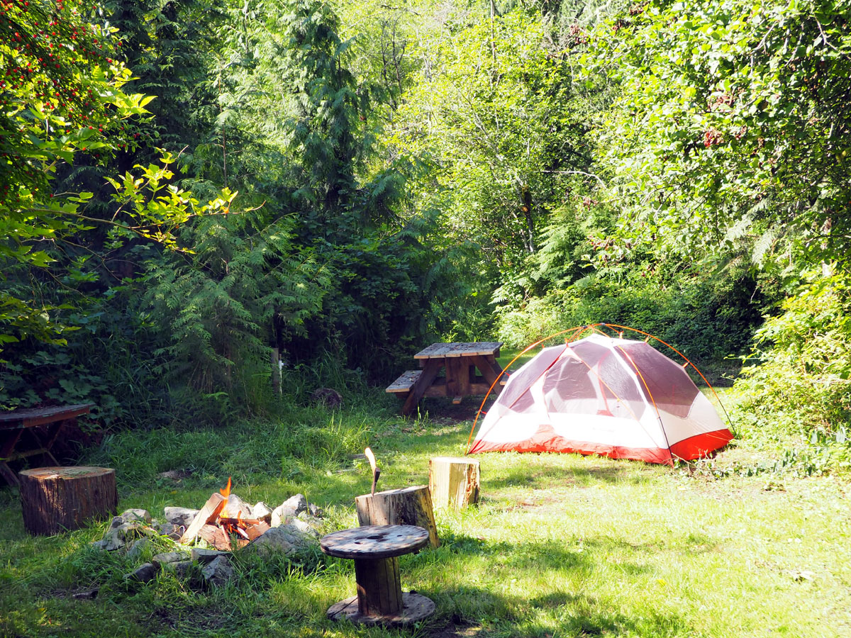
Nice campsite on mowed grass with faucet and fire circle.
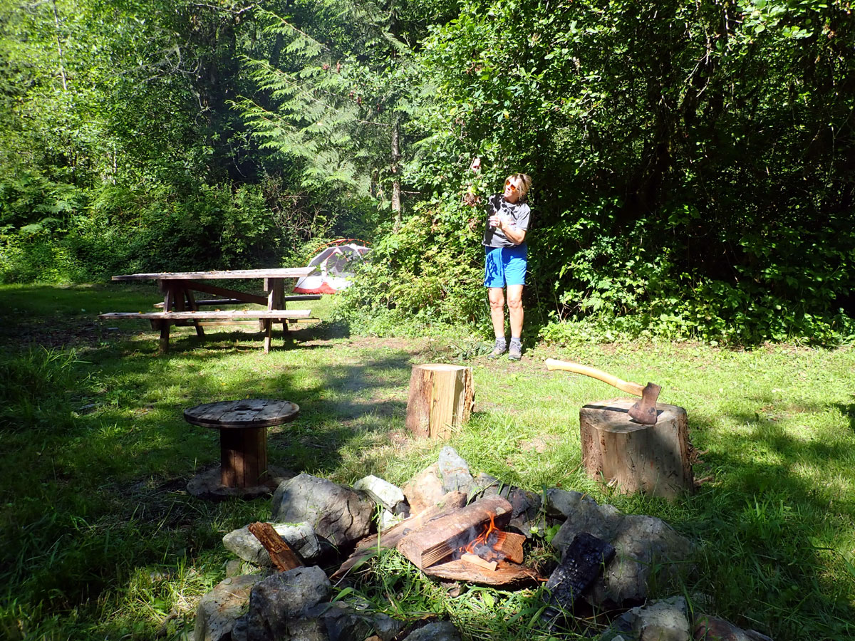
Picnic area with fire circle
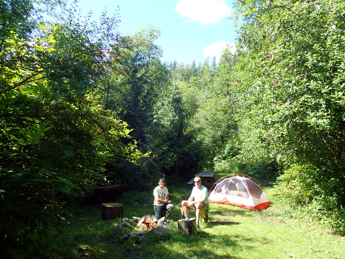
Tent site right rear off of main
access.
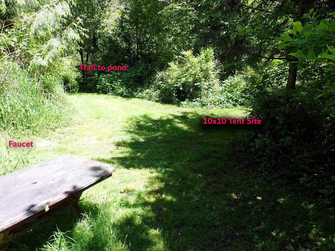
View from the fire circle to the back of the campsite.
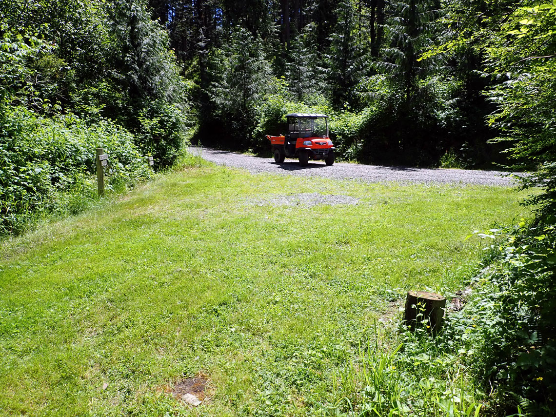
View from the fire circle towards
the gravel road
To the left, the road follows the creek along a small ravine: dead end
To the right, the road leads to the exit road
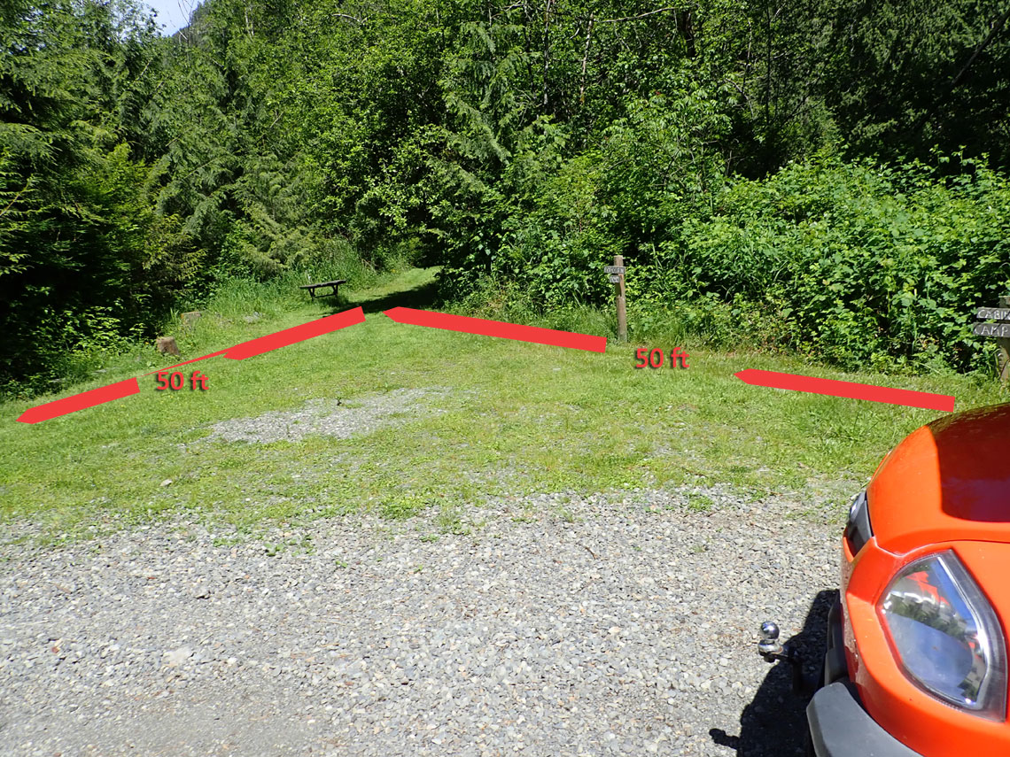
Wide back-in area
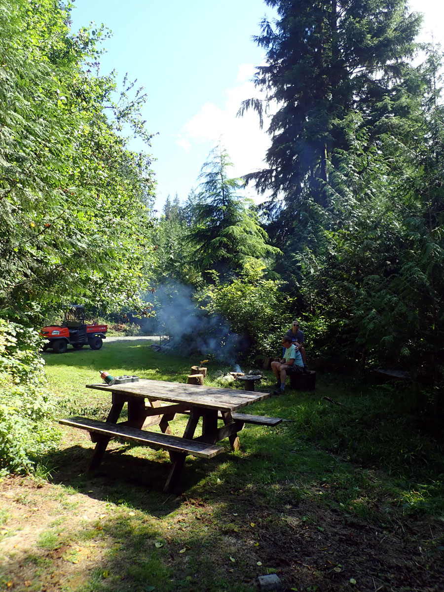
Shot toward road showing convenient loading/parking.
Sorry, no outhouse
This campsite is on a long peninsula that divides
Popcorn Pond from a larger 5 acre pond.
Jordan Creek runs through the
property and eventually empties into the South Fork of the Stilliguamish
River about a mile downstream.. Popcorn Pond is currently undergoing
gradual changes as the beavers have moved and the dam has fallen into
disrepair. This is a normal progression cycle of the creek, wetland and
ponds.
The South Fork (30 miles (48 km)) originates from
the northern slopes of Del
Campo Peak and Morning
Star Peak in central Snohomish County, 20 miles (32 km) south of
Darrington, and flows west and northwest by Silverton, Verlot,
and Granite
Falls.The two forks unite at Arlington in
northwestern Snohomish County. The combined stream flows west before it
briefly splits again to encircle the town of Silvana.
The Stilliguamish bifurcates at
its delta to
form Florence
Island before entering Puget
Sound.
Hatt Slough flows southwest and is now the primary distributary of the
Stilliguamish waters into Port
Susan, having been diverted in the early twentieth century. The Old
Stilliguamish River Channel flows northwest towards Florence and
then Stanwood on
an 8 mile meandering course. Near the Camano
Island bridge this channel again
splits, forming Leque
Island, with the South Pass flowing into Port Susan and the West
Pass emptying into the southern end of Skagit
Bay
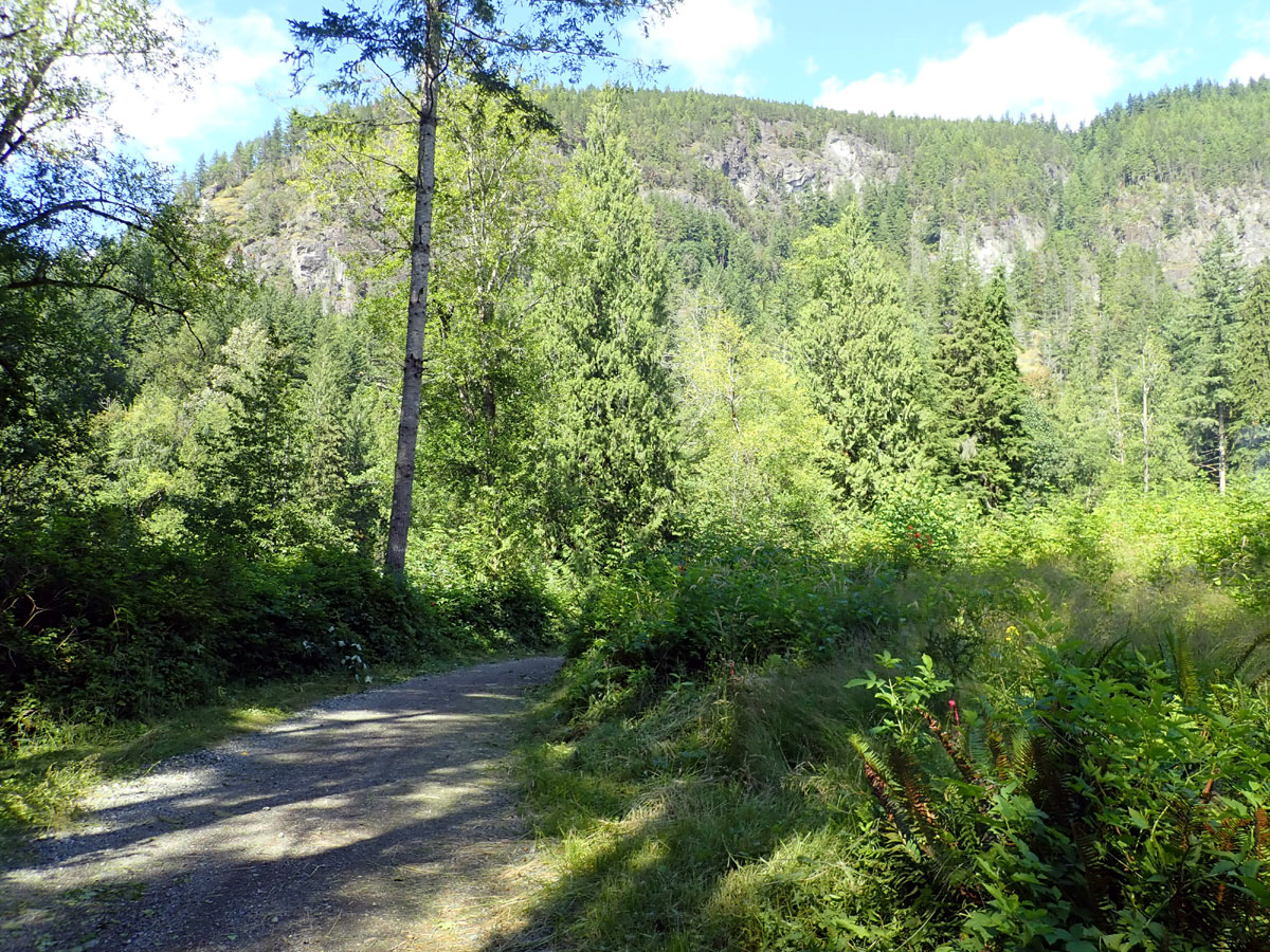
Campsite is behind the tall trees right of center
That's Deer Mountain in background
Spring water faucet
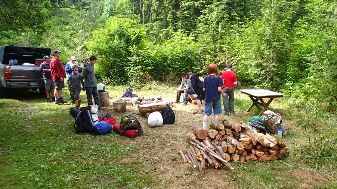
Scouts getting unloaded
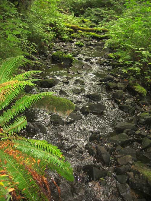
Jordan Creek upstream of popcorn pond
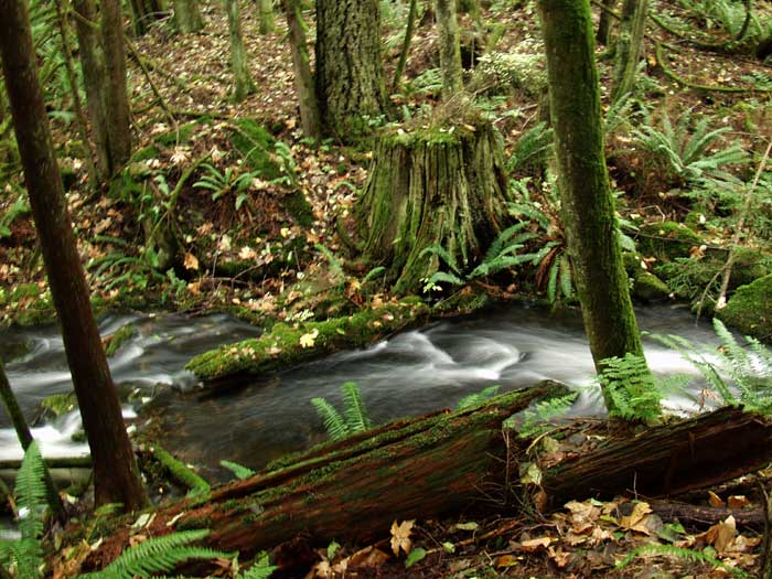
Old growth stump with Fall leaves
08/04/22